38 sights within about 70 km of the lodge: beaches and cliffs, castles and gardens, mountains, islands and towns.
Our 38 sights reach about 70 km by road from Kerry Ocean Lodge, from Glenbeigh Towers (Wynn's Folly), 1 km, to Staigue Stone Fort, 68 km; a few more just beyond are listed at the end of the page. The distance on each card is an approximate road distance from the lodge (OpenStreetMap routing, October 2026), not a live route measurement. Valentia Island distances use the road bridge at Portmagee rather than the seasonal car ferry. Use Directions to check your route, and confirm opening times and bookings with each venue.
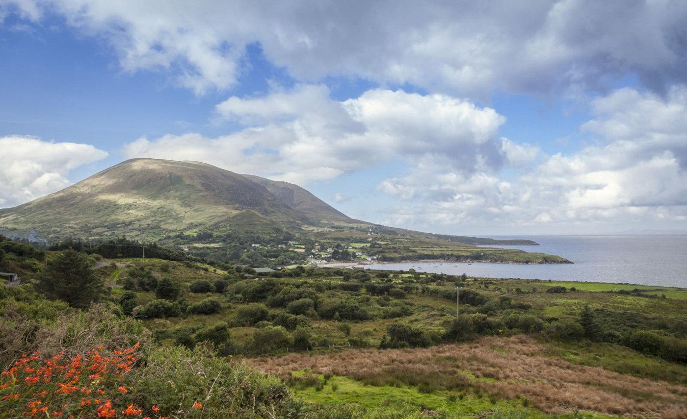
The famous 179 km circular route around the Iveragh Peninsula: Atlantic coastline, mountain passes and green valleys, through towns including Glenbeigh, Killarney and Kenmare. Highlights include Killarney National Park, Moll's Gap and ancient stone forts, making it a world-class road trip for scenery, history and the outdoors.
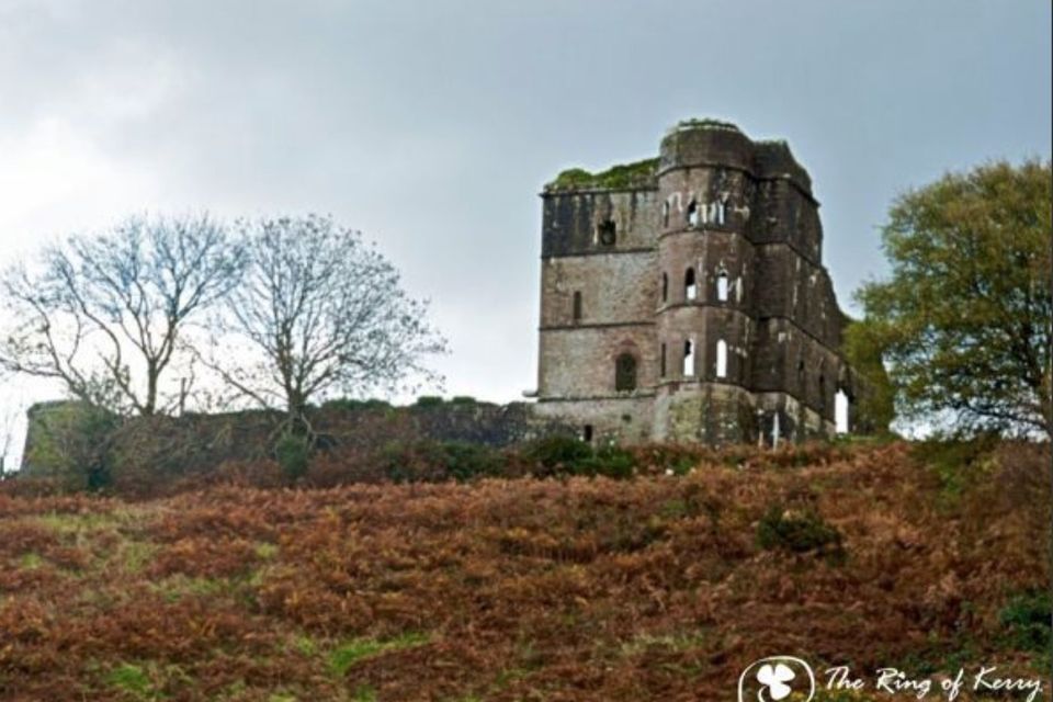
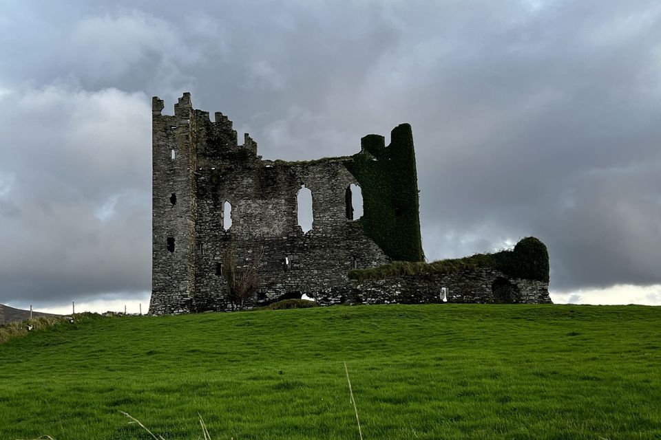
The ruin of Glenbeigh Towers, built in 1867–71 for the Hon. Rowland Winn (Allanson-Winn), whose son became the fifth Lord Headley, to a design by the architect E. W. Godwin; it ran over budget and its walls leaked. In the 1880s the estate became notorious for evictions, above all in January 1887, and the house was burned in 1921. Known locally as Wynn's Folly, it's a short walk from the lodge. View from the public road; the ruins are on private farmland.
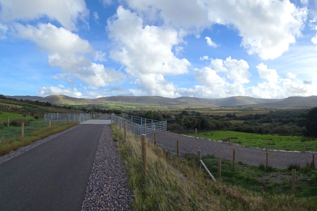
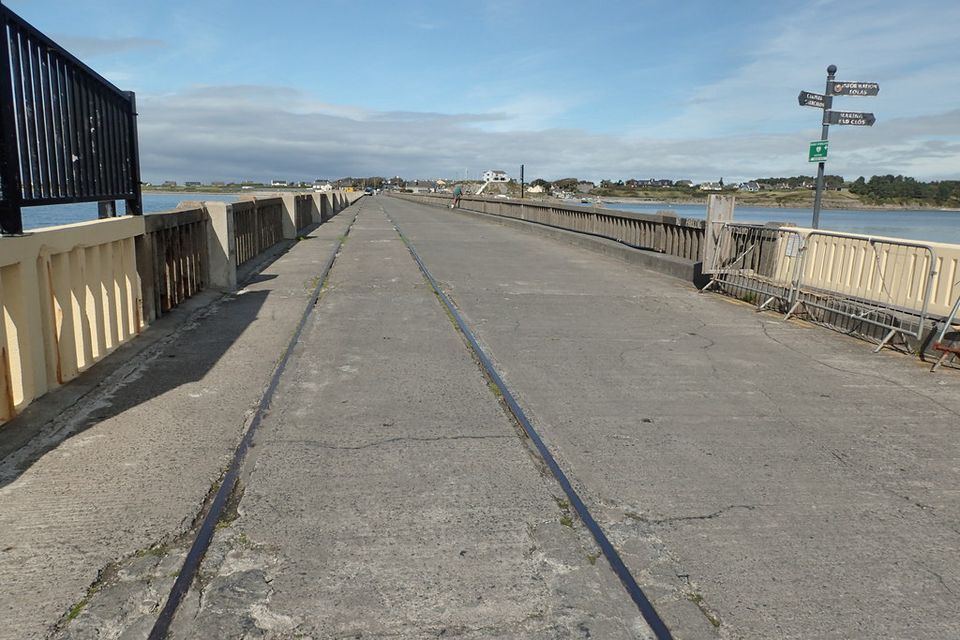
The first stretch of the South Kerry Greenway, a mostly off-road walking and cycling path on the old railway line, from the trailhead on Curra Road in Glenbeigh 4.2 km to Mountain Stage, with views across the valley to the mountains. Further sections towards Kells and Cahersiveen are opening in stages.
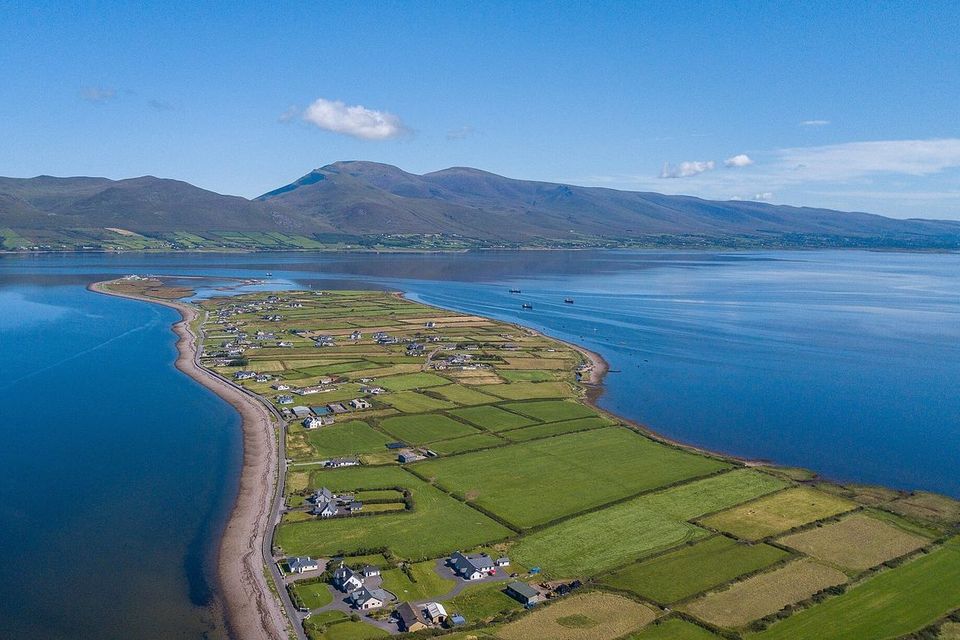
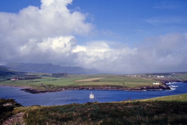
A small village on a peninsula whose Irish name, An Cromán, means "hip bone" after its shape. Cromane is known for its mussels, and its shore looks across Castlemaine Harbour.
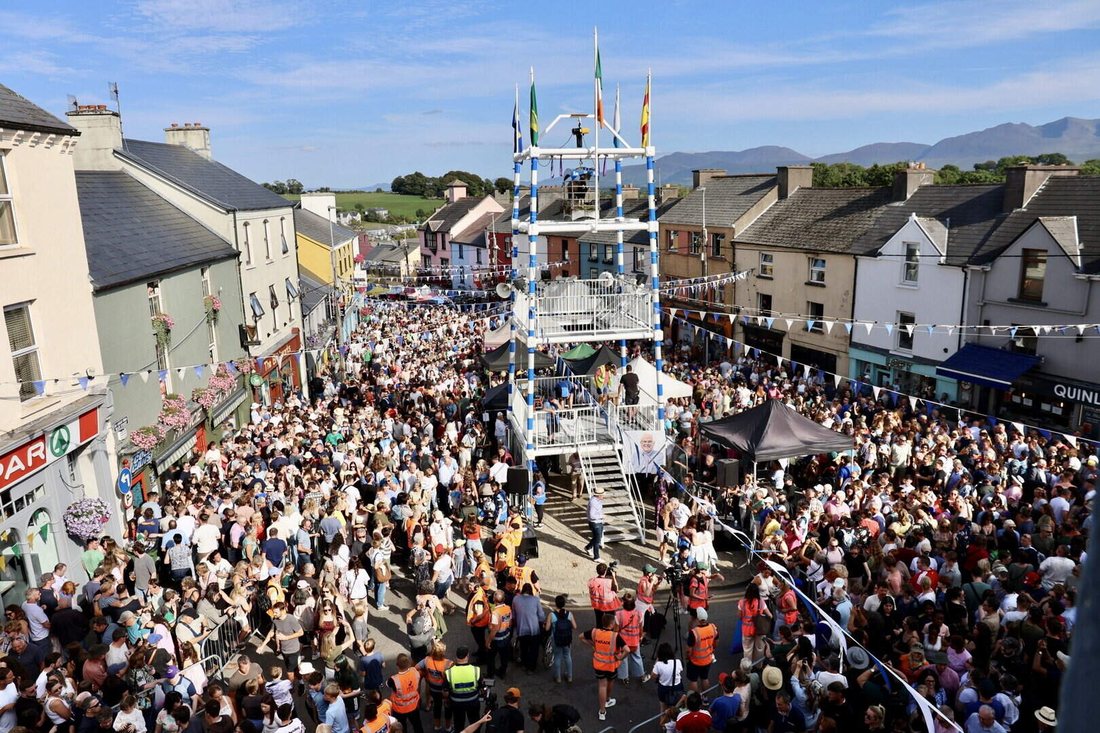
A Ring of Kerry town on the River Laune. Every 10–12 August it hosts Puck Fair, one of Ireland's oldest fairs, which begins by crowning a wild goat king.
A sub-tropical garden estate around a Victorian house overlooking Dingle Bay. The mild Gulf Stream climate lets exotic plants thrive along its woodland paths, including giant tree ferns, palms and bamboos.
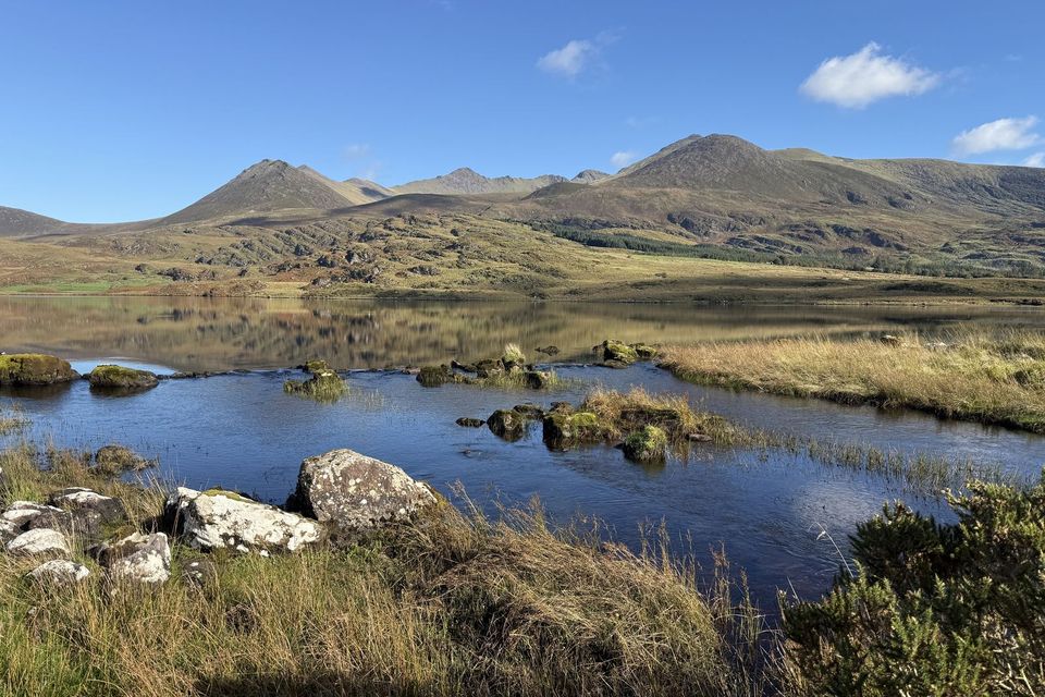
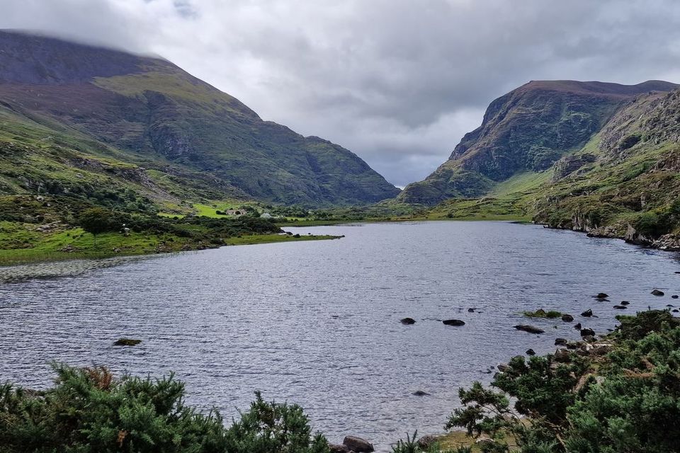
A lake on the Iveragh Peninsula near Glencar, close to MacGillycuddy's Reeks, Ireland's highest mountain range. A beautiful drive and a start point for hill walks.
A narrow mountain pass between MacGillycuddy's Reeks and the Purple Mountain range, and one of Kerry's best-known sights. Walk, cycle or take a jaunting car from Kate Kearney's Cottage at the northern end.
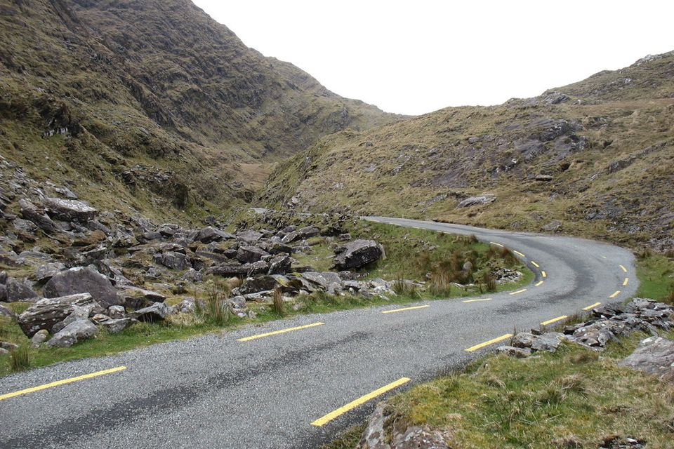
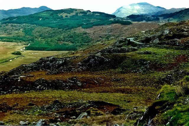
A narrow mountain road through a pass between Glencar and Blackwater, in the middle of the Iveragh Peninsula. One of the quietest drives in Kerry, with big mountain views; be ready to pull in for oncoming cars.
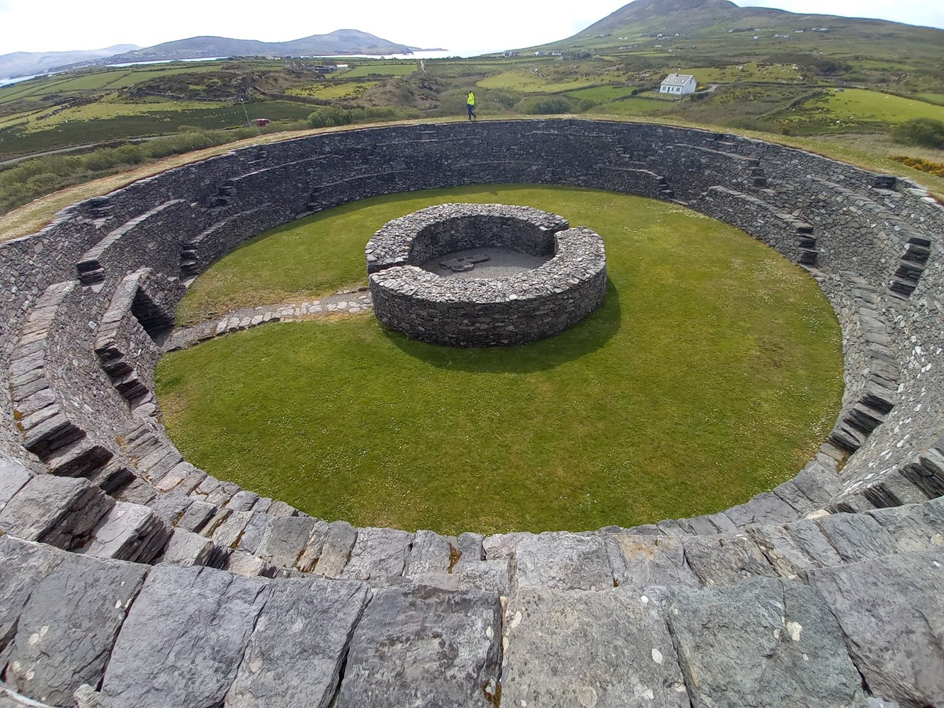
Explore the impressive dry-stone walls of this ringfort near Cahersiveen. This is an unguided national monument; enjoy the stonework from ground level and do not climb the walls.
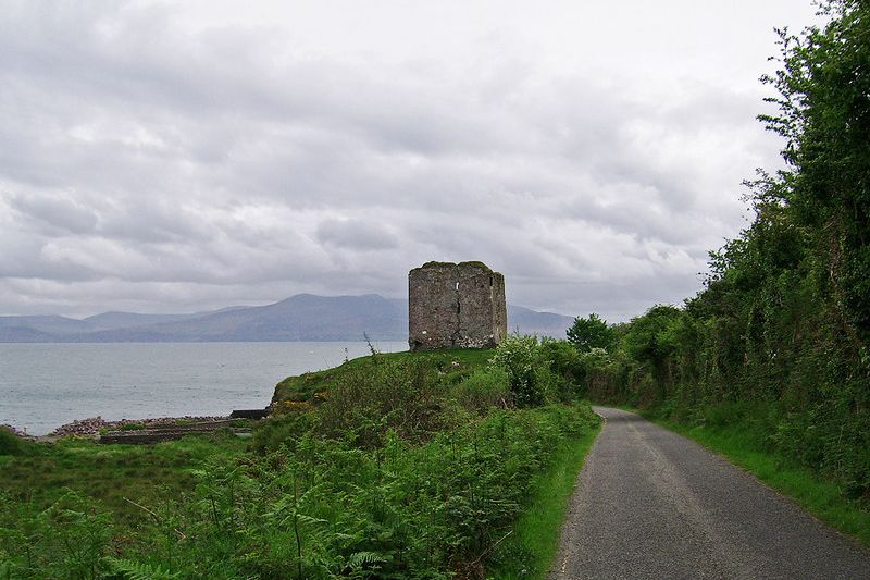
A ruined castle 3 km from Cahersiveen, close to the stone forts. It stands on private land and has been closed to the public since 2017, but you can see it well from the small parking area about 100 m in front.
A Franciscan friary founded in 1448 in Killarney National Park. Largely roofless today, it keeps most of its walls, and its cloister holds a large yew tree believed to be centuries old.
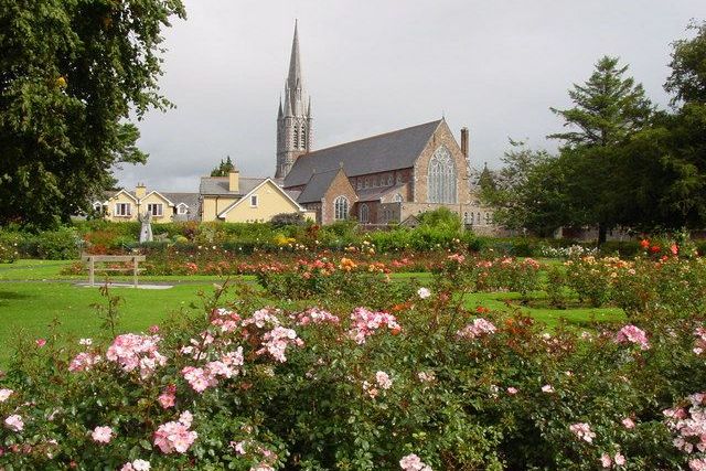
Kerry's county town and largest town, home of the Rose of Tralee festival each August, the rose garden in the Town Park and the Tralee Bay Wetlands Centre.
Where the Upper Lake flows into Muckross Lake and Lough Leane, under the Old Weir Bridge, thought to date from the 16th century. Dinis Cottage nearby, from the 1700s, has served teas for over 200 years. Walk or cycle in from Muckross House, or from the Dinis car park on the N71.
A harbour village facing Valentia Island and a departure point for boats to Skellig Michael, a UNESCO World Heritage Site. Landings run only in summer (roughly mid-May to September) and depend on the weather. The Kerry Cliffs are just outside the village.
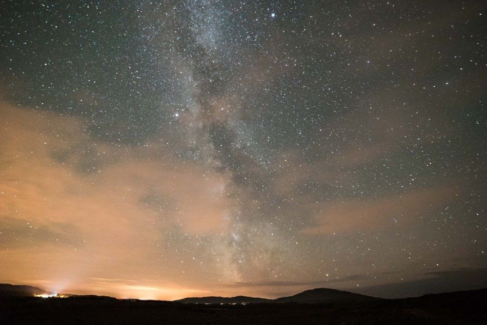
Ireland's first International Dark Sky Reserve (2014), framed by mountains and the sea, and the first in the Northern Hemisphere with Gold Tier status. With so little light pollution, on a clear night you can see the Milky Way, satellites and the International Space Station, and with luck a shooting star.
A village on a narrow strip of land between Lough Currane and Ballinskelligs Bay, on the edge of the Kerry Gaeltacht, with a statue of Charlie Chaplin, who holidayed here.
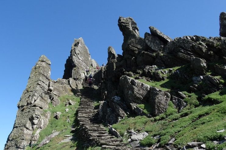
A rocky island 11.6 km offshore, where monks founded a monastery between the 6th and 8th centuries; a UNESCO World Heritage Site since 1996 and a Star Wars filming location. Landing trips run only in summer (OPW lists mid-May to September) with a daily limit on visitors, from Portmagee and other piers. Book early, and be ready for 600 stone steps.
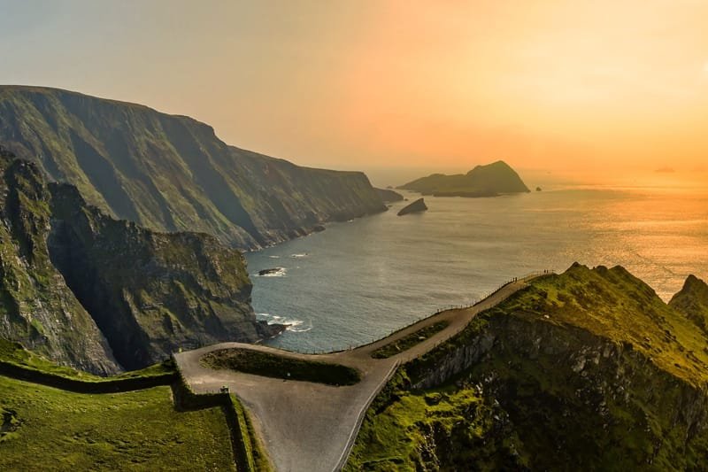
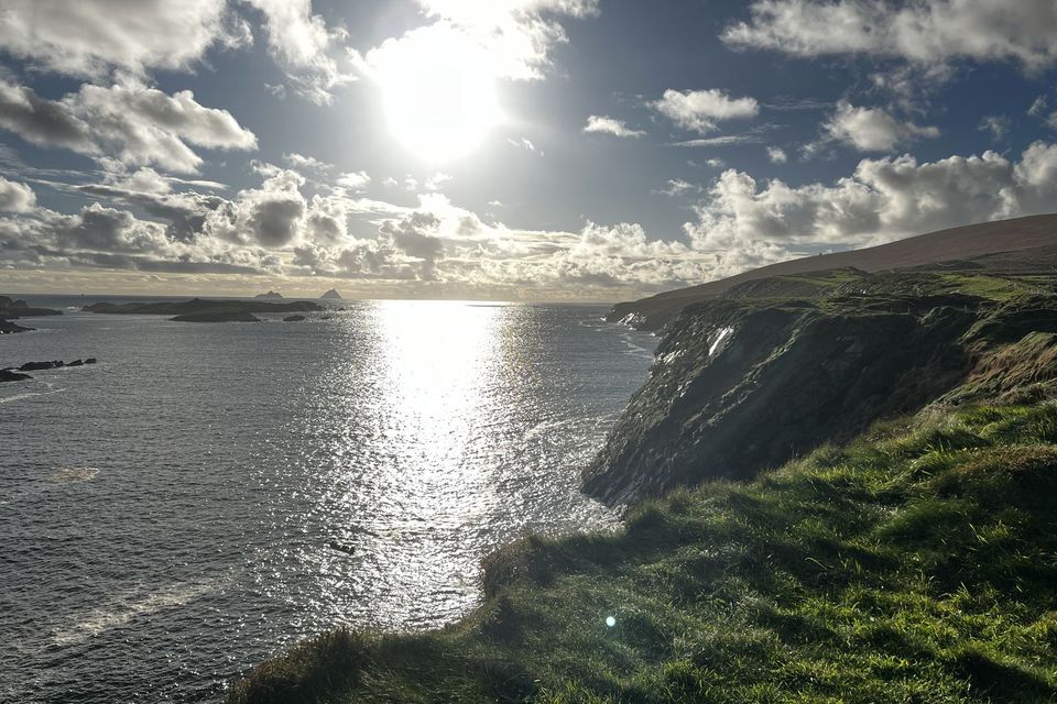
Walk to Atlantic cliff viewpoints overlooking the Skellig Islands and Puffin Island. Access and opening depend on weather; allow time for the uphill path from the entrance.
Cross by bridge from Portmagee or by the summer car ferry to Knightstown (April to October). See Glanleam's sub-tropical gardens, the slate quarry whose slate went into the Houses of Parliament in London, and the island's place in the first lasting transatlantic telegraph link (1866).
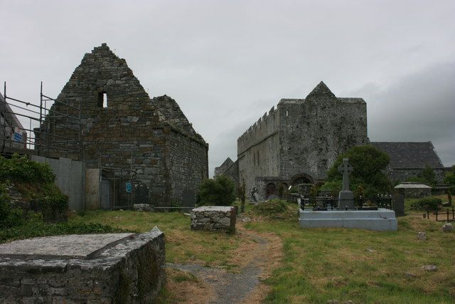
The ruins of a 12th-century cathedral on a site linked to St Brendan the Navigator, who is said to have been born near here, with two more old churches in the graveyard. Run by the OPW and open from spring to September (small fee).
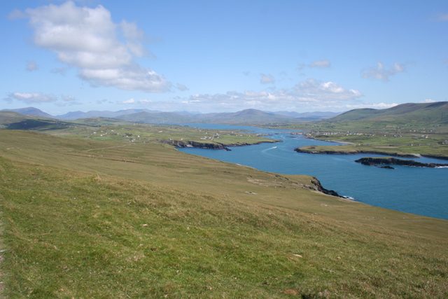
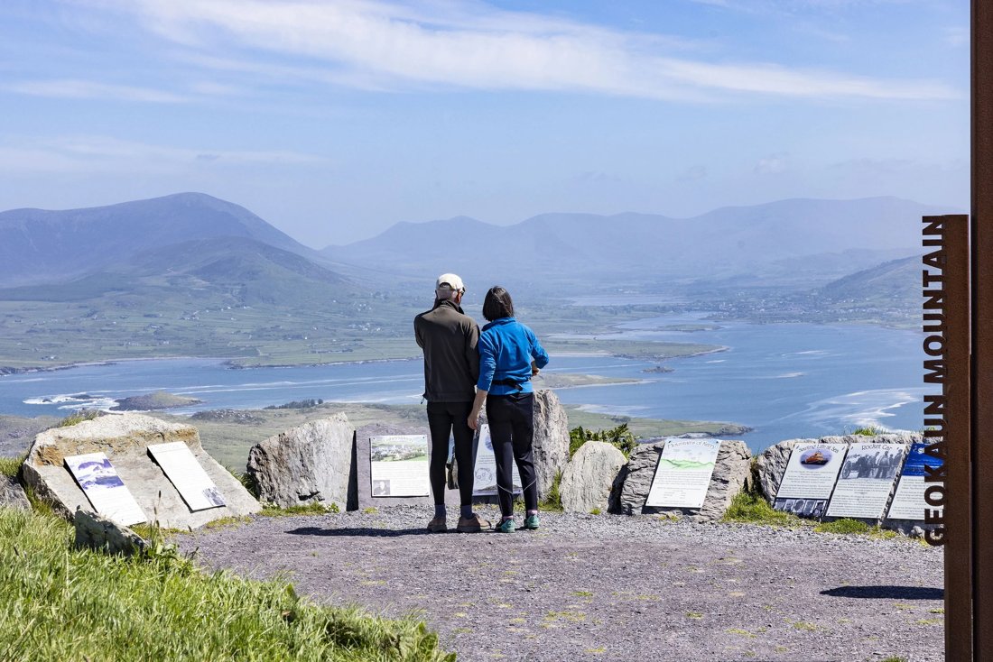
Walk or drive to viewpoints above Valentia Island, with panoramas across the Atlantic, Dingle Bay and the Kerry mountains. Explore short paths, the cliff viewing deck and local-history panels.
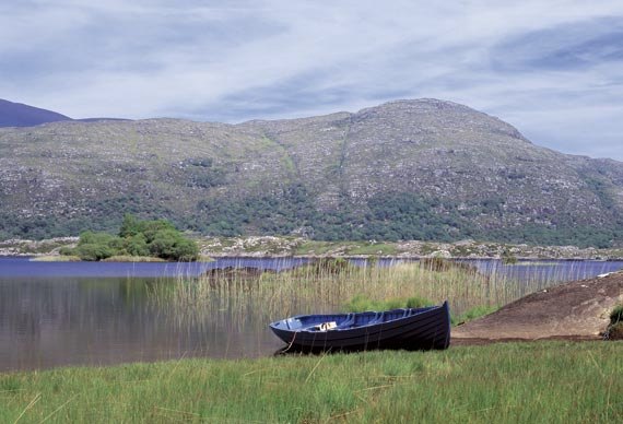
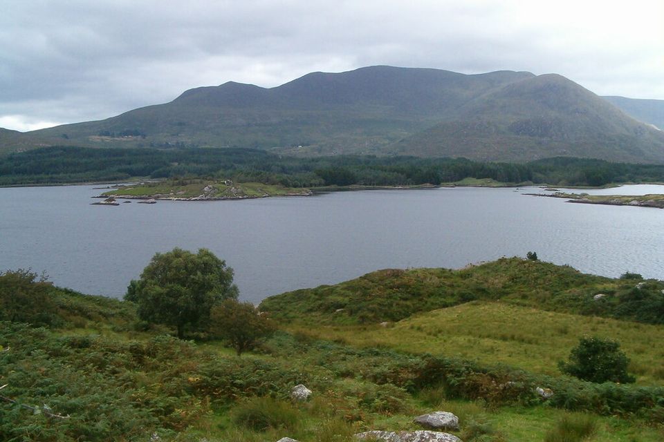
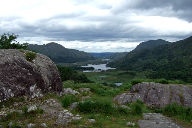
The best-known view of the Lakes of Killarney, on the N71 about 19 km from Killarney towards Kenmare. It is named after Queen Victoria's ladies-in-waiting, who admired it on her visit in 1861.
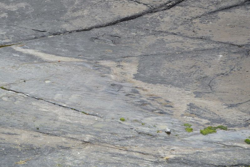
Footprints of an early four-legged animal in Devonian rock about 400 million years old, found in 1992 at Dohilla on Valentia's north coast. They're among the oldest signs of animals with backbones on land.
A harbour village on Tralee Bay with a big bronze monument to St Brendan the Navigator, who was probably born nearby, and a lighthouse (1851) on Little Samphire Island just off the pier.
A 260 m pass on the N71 Killarney–Kenmare road, named after Moll Kissane, who ran a shebeen (an unlicensed pub) there while the road was being built in the 1820s.
A ruined 16th-century tower house of the Knight of Kerry, battered by Cromwellian cannon, above a beach piled with large smooth stones on the Dingle Peninsula. St John's holy well is just behind it.
A remote valley at the southern end of MacGillycuddy's Reeks, and one of the last places in Ireland to be connected to the electricity grid, in 1976. It's on the Kerry Way; drive in from Moll's Gap by the R568 and a steep side road, or come through the Gap of Dunloe.
A busy fishing port and Gaeltacht town with lots of pubs, restaurants and traditional music. Dingle Oceanworld Aquarium has sand tiger sharks, gentoo penguins and otters, and Dingle Distillery opened in 2012.
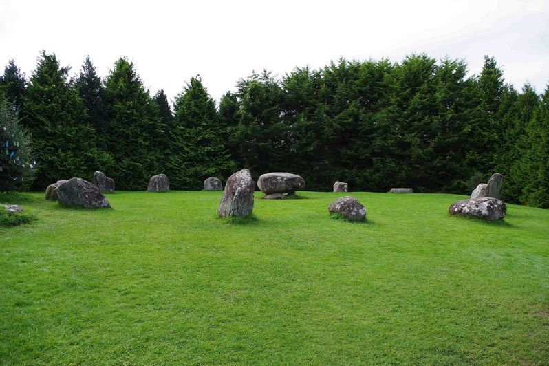
A colourful town at the head of Kenmare Bay, laid out around 1670 and known for its food and pubs. A short walk from the square is the Kenmare Stone Circle: 15 stones around a central boulder dolmen, one of the largest circles in the south-west (small fee).
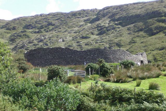
One of the largest stone forts in Ireland, built without mortar, probably in the late Iron Age, with walls up to 5.5 m high and 4 m thick and stairways climbing the inside. It sits in a mountain hollow above Castlecove. Open in daylight; there's an honesty box.