Glenbeigh
Windy Gap & Seefin Circuit
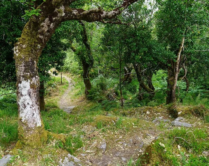
The Kerry Way routes around Seefin offer views towards Caragh Lake, Rossbeigh and Dingle Bay. Choose the direct Windy Gap route or plan a longer circuit with the trail description.
On Foot through Kerry
Woods, lakes and mountain walks near the lodge, then 10 routes with overview maps and links to official trail information.
Glenbeigh
The Kerry Way routes around Seefin offer views towards Caragh Lake, Rossbeigh and Dingle Bay. Choose the direct Windy Gap route or plan a longer circuit with the trail description.
Glenbeigh
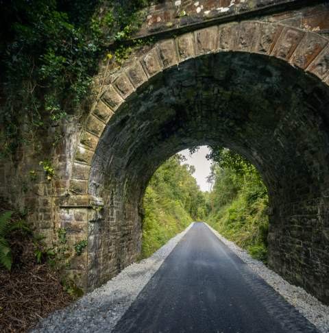
A mostly off-road walking and cycling path on the line of the old Great Southern & Western Railway. From the trailhead on Curra Road in Glenbeigh it runs 4.2 km to Mountain Stage, with sea views over Dingle Bay; a separate section at Kells is open too, and the rest towards Cahersiveen is opening in stages.
Glenbeigh
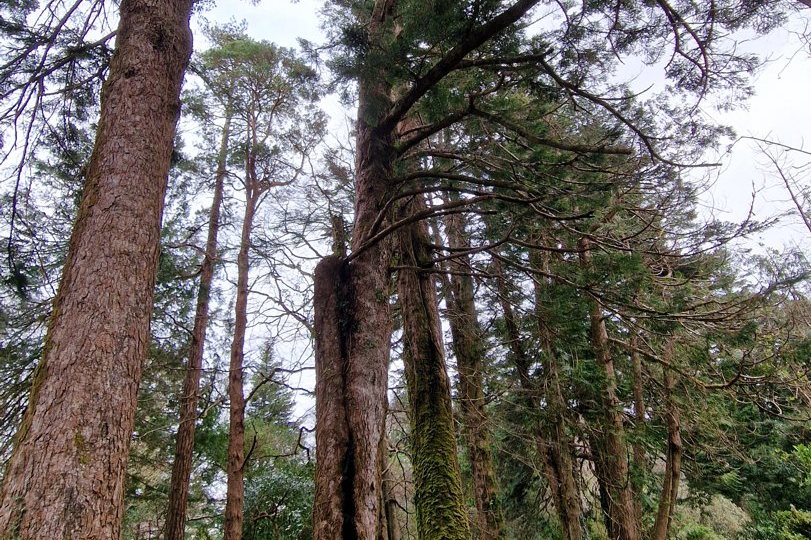
A short family trail through Faha Wood just west of the village, with fairy houses hidden among the trees. Steep and uneven in places; it starts at the Faha Wood car park on the Rossbeigh side. Ask us whether it’s open before you set off.
Near Glenbeigh
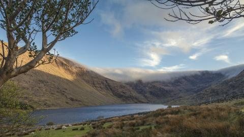
A horseshoe-shaped glacial corrie lake in the mountains above Glenbeigh, reached by narrow country roads. Near its northern end, flat rocks carry prehistoric rock art (circles, lines, cups and rings), part of a dense cluster of carvings around Glenbeigh. Parking is limited, so keep farm access clear and respect private land.
Glencar
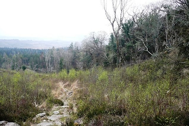
Old oak woodland in the Glencar valley, once part of the Lansdowne Estate, with three waymarked loops of 2–3 km: the Castle Rock Loop climbs to a ravine, the Lickeen Loop takes in Blackstones Bridge, and the Kerry LIFE Loop links the two. The Kerry Way passes through.
Caragh Lake
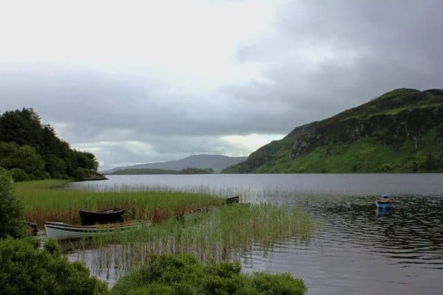
A peaceful lake framed by wooded slopes and mountains, close to Glenbeigh. Plan a lakeside outing or ask a local provider about guided paddling and fishing access.
Milltown
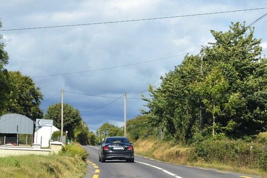
A quiet wood about 1.5 km from Milltown on the N70, with old oak standards, birch and rowan, a lay-by, picnic site and short forest walks. Coillte closes it during forestry work, so check its notices before you go.
Killarney National Park
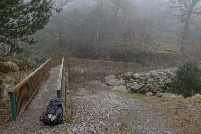
Ancient oak woods on the slopes of Tomies Mountain above Lough Leane, home to red squirrels. A woodland trail leads to O’Sullivan’s Cascade, a waterfall in the trees, with a longer loop of about 6.5 km. The small car park fills quickly on fine days, and paths are slippery after rain.
Glencar and the Reeks
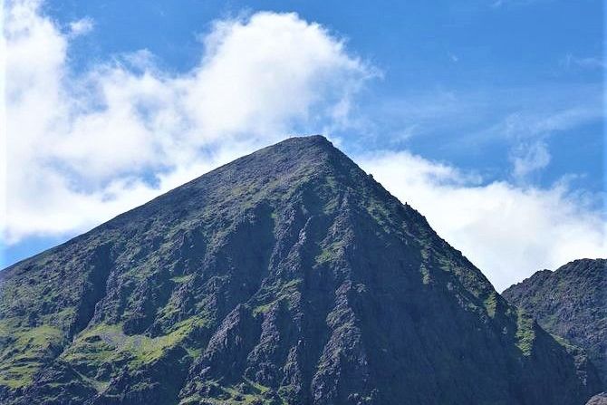
Ireland's highest mountain (1,038.6 m), in the heart of the Reeks. Many walkers start at Cronin's Yard. It's a serious mountain day: go with a guide unless you're experienced.
Killarney National Park
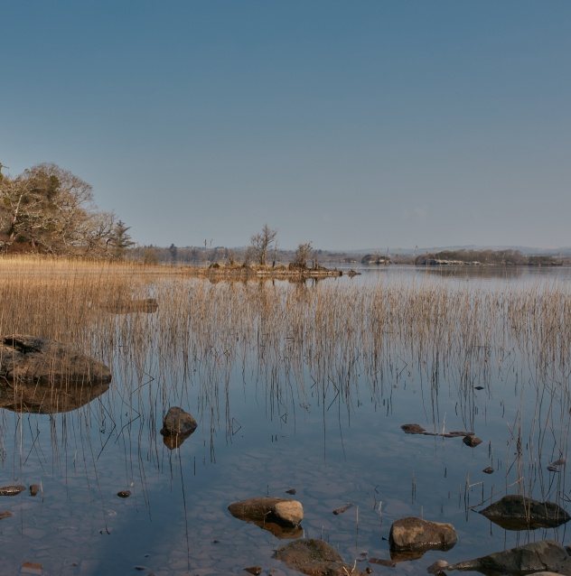
Discover Lough Leane, Muckross Lake and the Upper Lake through signed walks, viewpoints and boat trips. The park’s visitor guide explains routes and access.
Killarney National Park
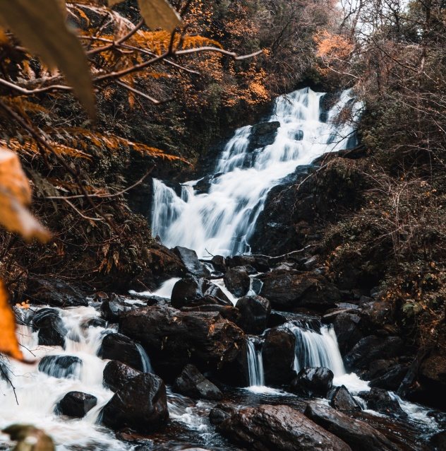
Combine the waterfall with woodland and lakeside paths around Muckross. Longer loops involve steps and climbs; choose a route from the park’s walking information.
Glenbeigh & Glencar
Follow a local stage of this long-distance trail through woodland, valleys and mountain foothills. Use the official route pages to choose a section and plan transport back.
10 routes with maps
The maps are overviews we drew from OpenStreetMap: click one for a larger version, or download an OpenStreetMap-derived GPX overview. These tracks are not surveyed navigation routes and may differ from the official walk; the Glenbeigh–Glencar track is about 15 km, while the published stage is 12.5 km. Check the official route and current access before walking. For navigation on the hills, carry the official map (linked on each walk) or the OSi Discovery Series sheet, and a compass.
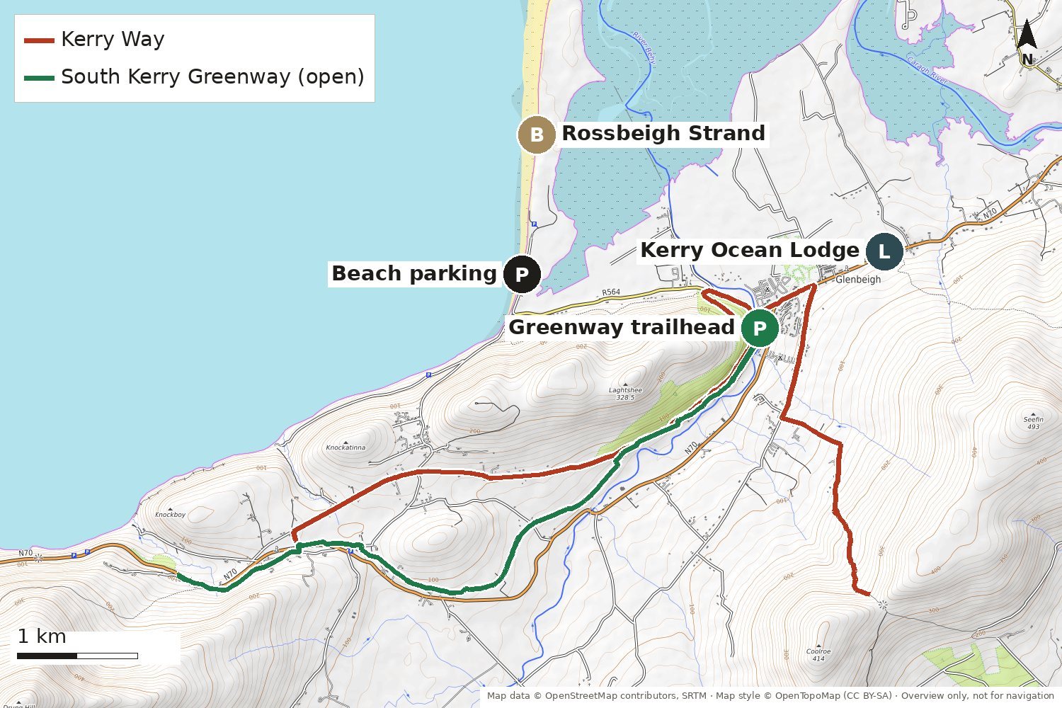
2–10 km · easy to moderate
From the lodge door
Four short waymarked walks start in and around the village:
The road from the village out to Rossbeigh has no footpath for much of its length, so take care, or drive to the beach car park.
Larger map Route details and interactive map (Discover Iveragh)
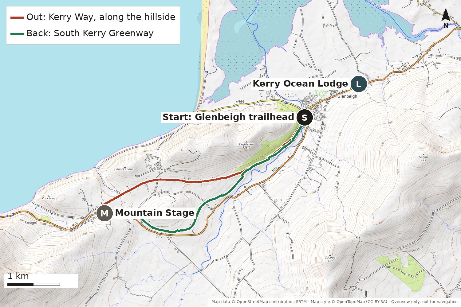
About 10 km · about 3 hours (our estimate) · moderate
Starts 1.4 km from the lodge
A good half-day walk that links two waymarked routes. From the Greenway trailhead, follow the Kerry Way west along the hillside below Laghtshee to Mountain Stage, then come back on the flat, off-road Greenway.
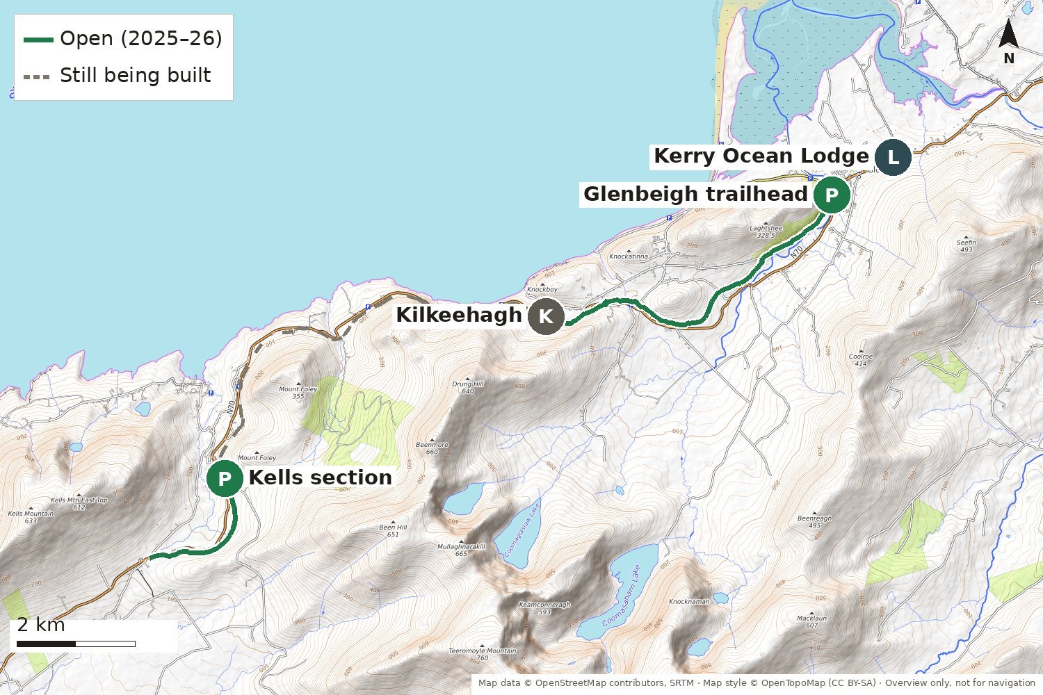
6.2 km each way · easy · walk or cycle
Starts 1.4 km from the lodge
A mostly off-road route for walkers and cyclists, with two short shared-road stretches on the line of the old Great Southern & Western Railway. From Glenbeigh it runs 4.2 km to Mountain Stage and on to Kilkeehagh (opening in stages during 2026), including a 100 m boardwalk. A separate 3.1 km section at Kells, 15 km away by road, opened in December 2025. The rest, to Cahersiveen and Reenard (32 km in all), is still being built.
Larger map GPX file Discover Kerry: the GreenwayKerry Greenway Bike Rentals
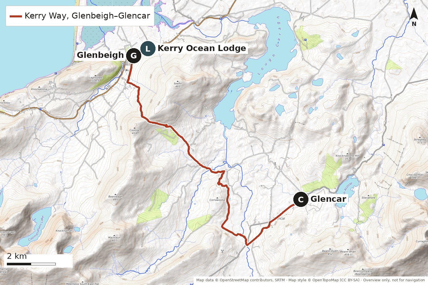
12.5 km one way · about 5¼ hours · 420 m of ascent · moderate, with rough rocky stretches
Starts in the village
A full day on one of Ireland's best-known long-distance trails (232 km around the Iveragh Peninsula). From the village the Kerry Way climbs past Gowlane to Windy Gap, the saddle above Glenbeigh, with views back over Rossbeigh Hill, Inch Strand and the Dingle Peninsula, then drops through the Caragh valley to Glencar, below MacGillycuddy's Reeks. There's no public transport back, so arrange a lift or a taxi, or walk it with a guide.
At Gortdirragh an alternative route turns off past the foot of Seefin, with views over Caragh Lake, and comes down to the Ring of Kerry road. A full-day circuit of Seefin can also be walked from Glenbeigh. Times and distances above are from the Kerry Way stage guide (Glencar to Glenbeigh church); the line on our map runs on a little past Glencar, so it measures about 15 km.
Larger map GPX file Official map 6 (PDF)Official map 5 (PDF)Sport Ireland: Kerry WayStage guide: Glencar to Glenbeigh
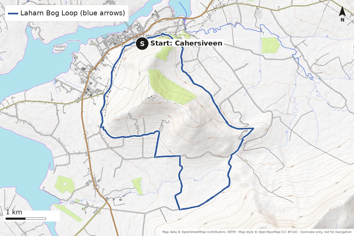
14.7 km loop · easy
28 km from the lodge · about 25 min by car
A waymarked loop from Cahersiveen that follows paths and quiet country roads around the base of Beentee mountain.
Larger map GPX file Official map (PDF)Sport Ireland: Laharn Bog Loop
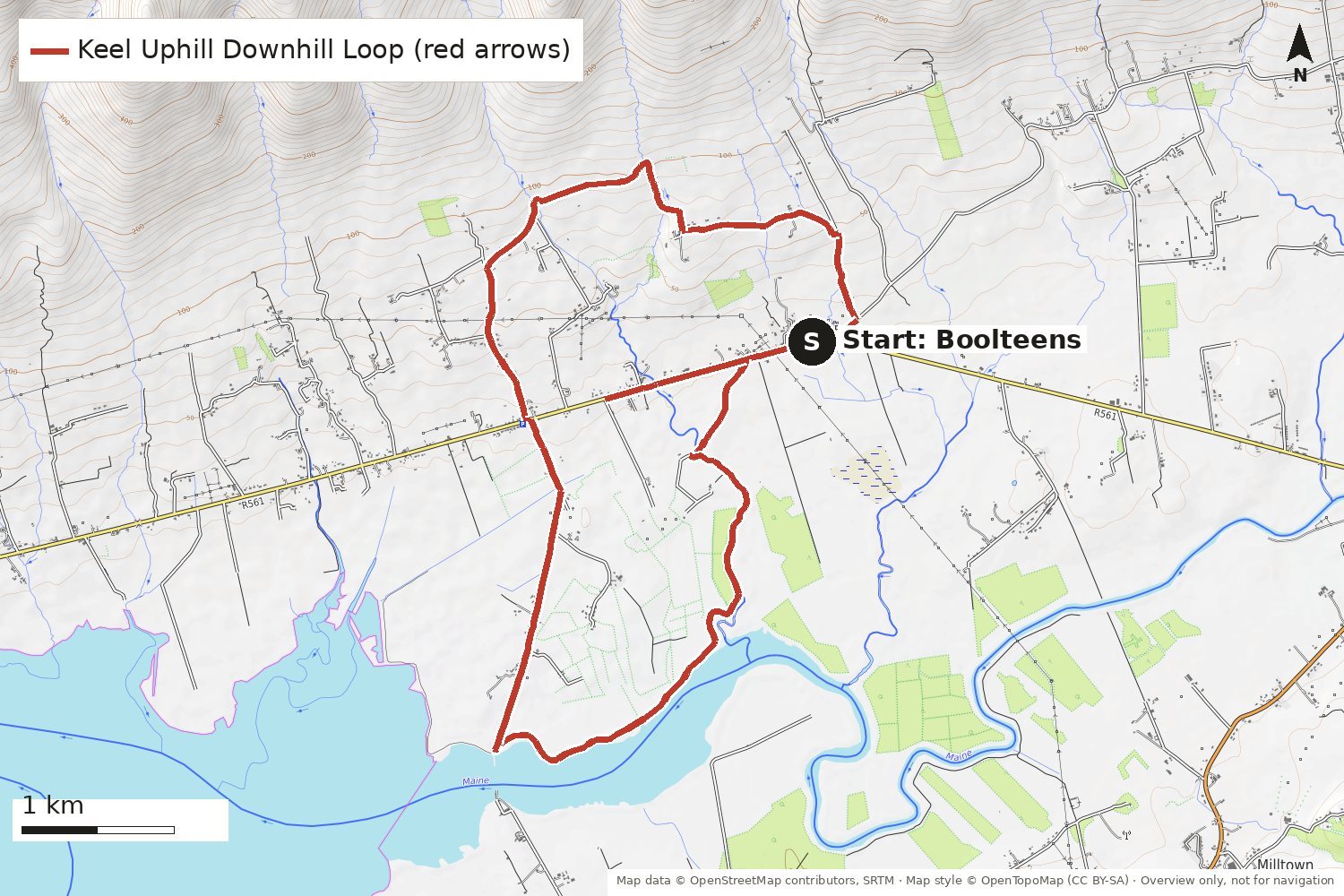
12 km official loop · about 3½ hours · 100 m of climbing · easy
27 km from the lodge · about 25 min by car
A gentle waymarked loop on the Dingle Peninsula side of Castlemaine Harbour, up the lower slopes and down to the shore.
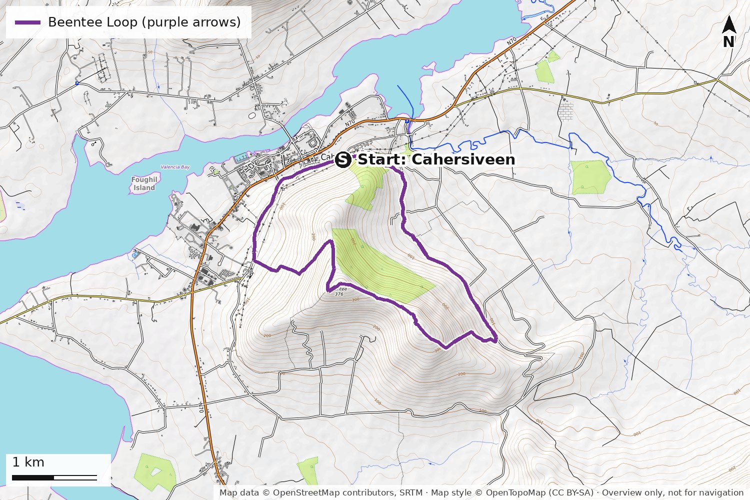
9.5 km loop · 420 m of ascent · strenuous
28 km from the lodge · about 25 min by car
A shorter, steeper companion to the Laharn Bog Loop: from Cahersiveen the trail climbs onto the slopes of Beentee, with views over Valentia Harbour and the town, then drops back down. The upland stretch can be wet and boggy.
Larger map GPX file Sport Ireland: Beentee LoopDiscover Iveragh: Beentee Loop
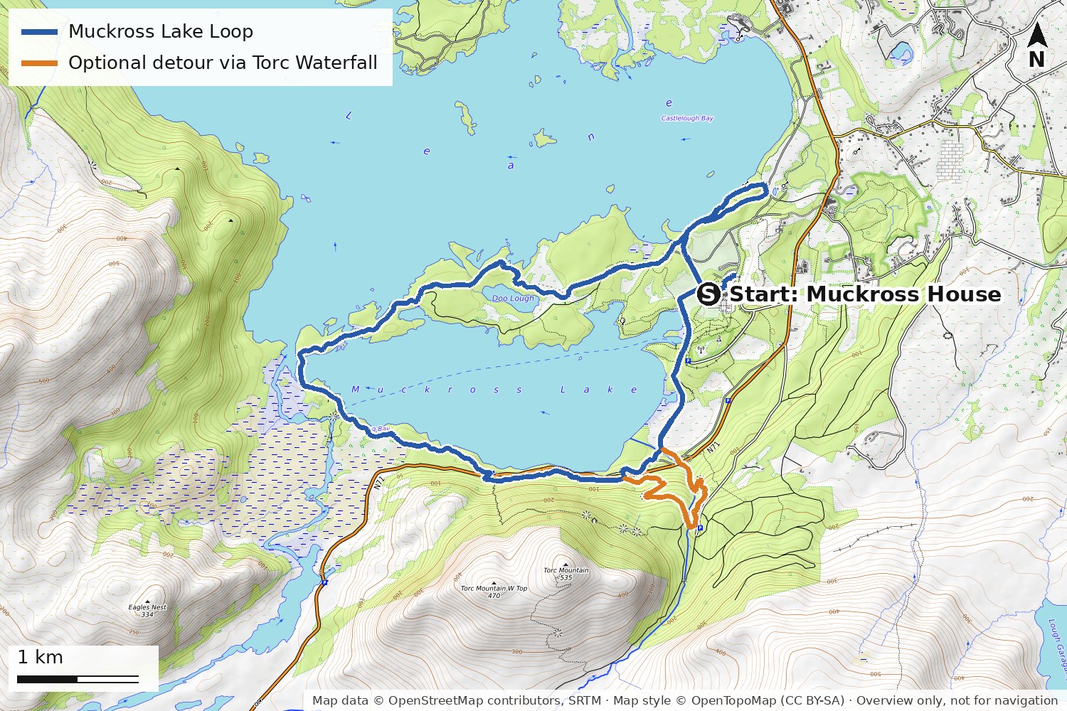
About 12 km loop (measured on our map) · mostly flat · easy
40 km from the lodge · about 40 min by car
The classic walk (or cycle) in Killarney National Park: from Muckross House round Muckross Lake on paths and quiet park roads, over Brickeen Bridge and back along the wooded southern shore. Add the short detour to Torc Waterfall near the end. Published lengths vary from about 10 to 15 km, depending on where you start and which detours you take.
Part of the southern side runs close to the N71; take care with children and bikes.
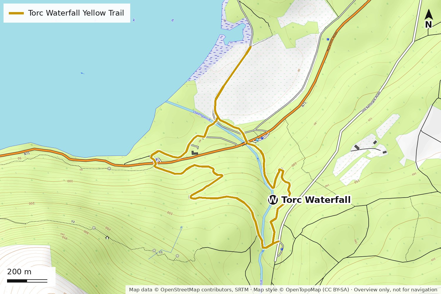
About 3 km loop · steps and some climbing · easy to moderate
41 km from the lodge · about 45 min by car
A short loop through the woods to the 20 m Torc Waterfall and up the steps above it. For a harder climb and big views over the lakes, the Red Trail continues up the steep Cardiac Steps.
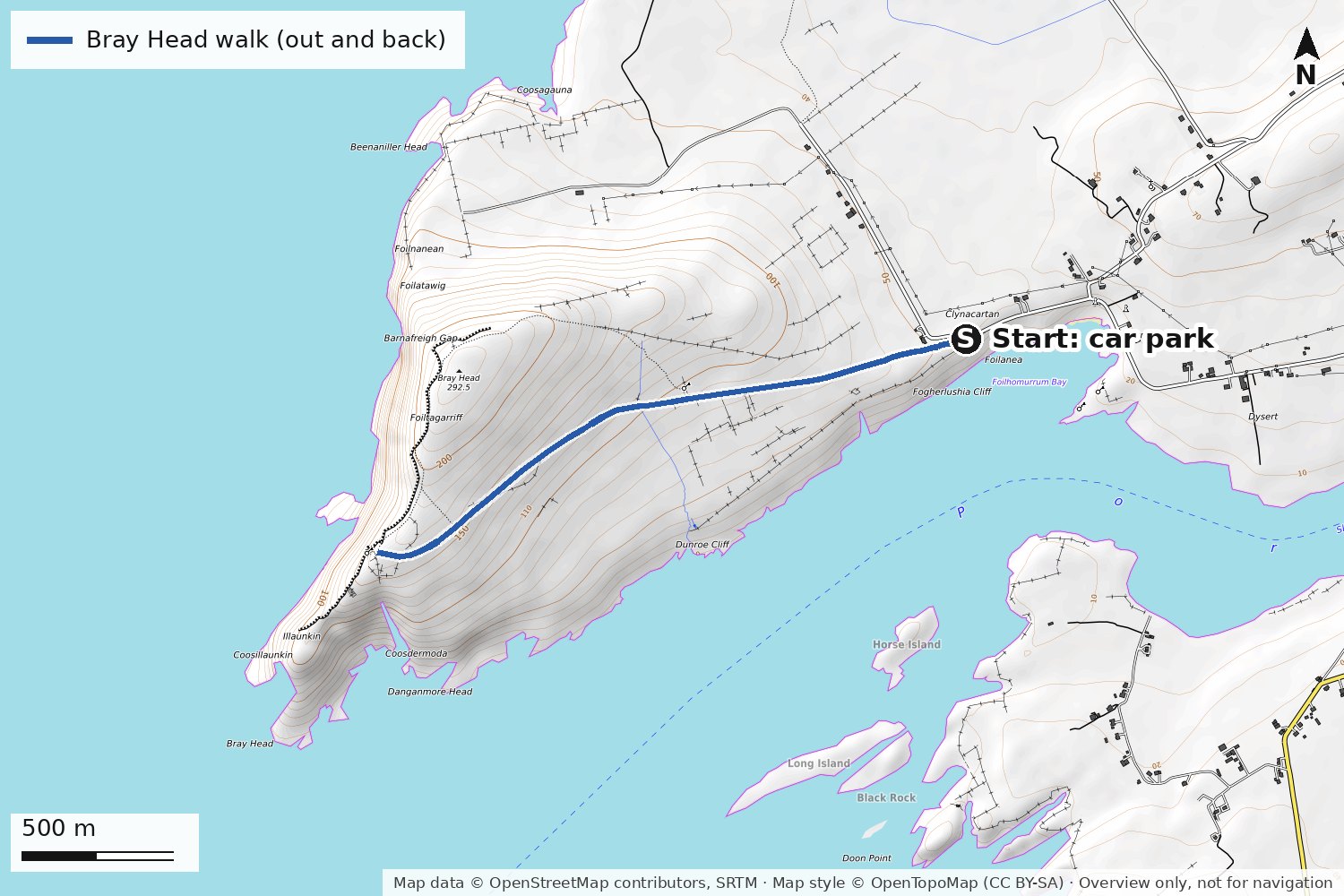
About 4 km there and back · 114 m of ascent · moderate
46 km from the lodge · about 50 min by car
A gravel track climbs gently from the car park to the ruined tower on Bray Head, at the western tip of Valentia Island, with views out to the Skelligs and along the cliffs. The way back is the same track. Go on a clear day and keep well back from the cliff edges.
Larger map GPX file Sport Ireland: Bray HeadDiscover Ireland: Bray Head
The Coomasaharn Horseshoe follows the ridge of peaks around Coomasaharn Lake above Glenbeigh, from Seefin to Mountain Stage: about 24 km and 1,500 m of climbing, roughly 10 hours, graded difficult, on OSi sheets 78 and 83. Carrauntoohil (1,038.6 m), Ireland's highest mountain, is a serious mountain day: go with a guide unless you have the experience.
Weather on the hills changes quickly. Tell someone your route, carry a map, compass, warm and waterproof layers and a phone. In an emergency call 112 or 999 and ask for Mountain Rescue.
Coomasaharn Horseshoe route (Irish Times)Lodge & Reeks GuidingMore trails: Sport Ireland
Maps: route data © OpenStreetMap contributors (ODbL); map style © OpenTopoMap (CC BY-SA); drawn for this site, October 2026. GPX files: OpenStreetMap data under the Open Database Licence. Trail facts: Sport Ireland, Discover Iveragh and Discover Kerry. Routes and access can change; follow the waymarks and local signs.